ZCZC MIATWOAT ALL
TTAA00 KNHC DDHHMM
Tropical Weather Outlook
NWS National Hurricane Center Miami FL
200 AM EDT Sat Jul 25 2020
For the North Atlantic...Caribbean Sea and the Gulf of Mexico:
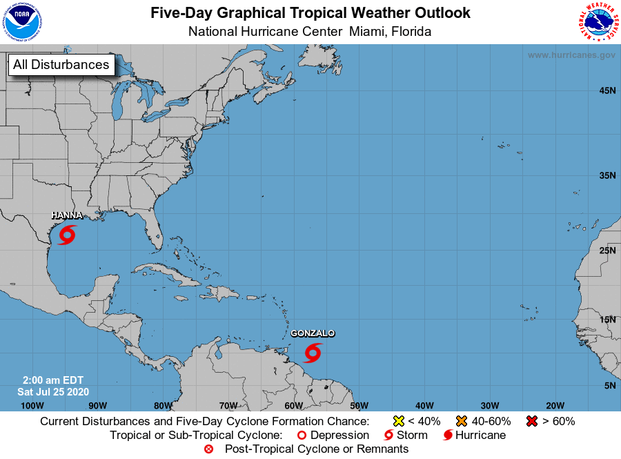
The National Hurricane Center is issuing advisories on Tropical
Storm Gonzalo, located a couple of hundred miles east of the
southern Windward Islands.
The National Hurricane Center is also issuing advisories on Tropical
Storm Hanna, located over the western Gulf of Mexico.
A tropical wave is producing an area of disorganized showers and
thunderstorms a few hundred miles south of Cabo Verde Islands.
This wave is expected to move westward during the next several
days, and it could become a tropical depression early next week
when it reaches the western tropical Atlantic.
* Formation chance through 48 hours...low...near 0 percent.
* Formation chance through 5 days...medium...50 percent.
$$
Forecaster Pasch
NNNN