ZCZC MIATWOAT ALL
TTAA00 KNHC DDHHMM
Tropical Weather Outlook
NWS National Hurricane Center Miami FL
800 AM EDT Sat Jul 4 2020
For the North Atlantic...Caribbean Sea and the Gulf of Mexico:
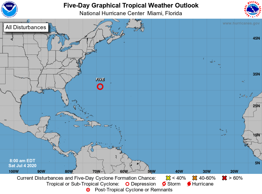
1. A small area of low pressure located about 300 miles west-southwest
of Bermuda continues to produce persistent showers and
thunderstorms. The system appears to be getting better organized,
and if current trends continue, it could become a tropical
depression later today or tonight while it moves east-northeastward
or northeastward at about 15 mph. Environmental conditions are
expected to become unfavorable for further development by late
Sunday. Interests in Bermuda should monitor the progress of this
system.
* Formation chance through 48 hours...medium...60 percent.
* Formation chance through 5 days...medium...60 percent.
Forecaster Zelinsky