ZCZC MIATWOAT ALL
TTAA00 KNHC DDHHMM
Tropical Weather Outlook
NWS National Hurricane Center Miami FL
200 PM EDT Sun Jun 21 2020
For the North Atlantic...Caribbean Sea and the Gulf of Mexico:
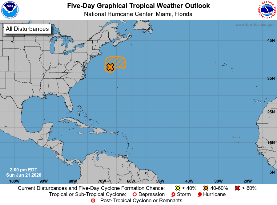
1. A well-defined, non-tropical low pressure system is located about
300 miles southeast of Cape Cod, Massachusetts. Showers and
thunderstorms have recently become a little better organized near
the center, and the system could briefly acquire subtropical
characteristics tonight and early Monday while the low moves
northeastward over the warm waters of the Gulfstream. By Monday
night and Tuesday, however, the system is expected to weaken when
it moves back over the cooler waters of the North Atlantic.
* Formation chance through 48 hours...medium...40 percent.
* Formation chance through 5 days...medium...40 percent.
Forecaster Stewart