ZCZC MIATWOAT ALL
TTAA00 KNHC DDHHMM
Tropical Weather Outlook
NWS National Hurricane Center Miami FL
200 AM EDT Fri Oct 25 2019
For the North Atlantic...Caribbean Sea and the Gulf of Mexico:
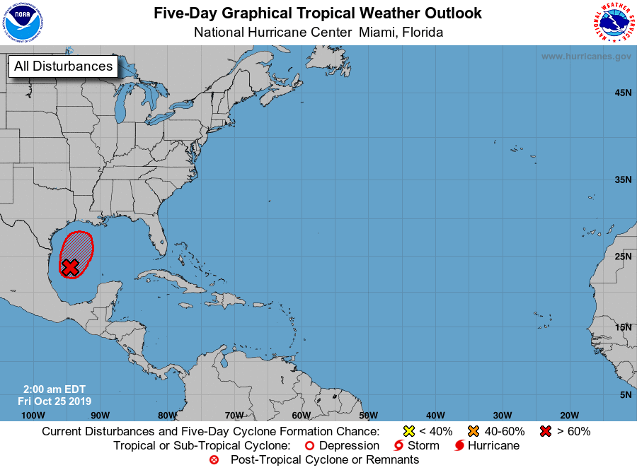
1. Showers and thunderstorms associated with a low pressure system
located over the western Gulf of Mexico continue to show signs of
organization. Although satellite wind data indicate that the
disturbance still does not have a well-defined center, some further
development is anticipated and it appears likely that a short-lived
tropical depression will form later today. The system is forecast to
merge with a cold front and become post-tropical tonight over the
northwestern Gulf of Mexico. Regardless of development, gale-force
winds are expected behind the cold front over the western Gulf of
Mexico today and Saturday. For more information, see High Seas
Forecasts issued by the National Weather Service.
* Formation chance through 48 hours...high...70 percent.
* Formation chance through 5 days...high...70 percent.
High Seas Forecasts issued by the National Weather Service can be
found under AWIPS header NFDHSFAT1, WMO header FZNT01 KWBC, and
online at ocean.weather.gov/shtml/NFDHSFAT1.php
Forecaster Pasch