ZCZC MIATWOAT ALL
TTAA00 KNHC DDHHMM
Special Tropical Weather Outlook
NWS National Hurricane Center Miami FL
1005 PM EDT Tue Aug 20 2019
For the North Atlantic...Caribbean Sea and the Gulf of Mexico:
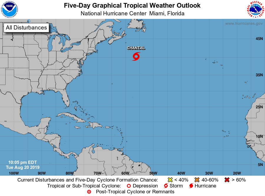
1. Recent satellite wind data indicate that the small low pressure
area located more than 450 miles southeast of Halifax, Nova Scotia,
has acquired a well-defined circulation and is producing tropical-
storm-force winds. As a result, advisories on Tropical Storm
Chantal will be initiated at 11 PM AST (0300 UTC). This system is
moving eastward at 15 to 20 mph across the open north Atlantic.
* Formation chance through 48 hours...high...near 100 percent.
* Formation chance through 5 days...high...near 100 percent.
Additional information on this system can be found in High Seas
Forecasts issued by the National Weather Service, under AWIPS
header NFDHSFAT1, WMO header FZNT01 KWBC, and online at
ocean.weather.gov/shtml/NFDHSFAT1.php .
Forecaster Brown