ZCZC MIATWOAT ALL
TTAA00 KNHC DDHHMM
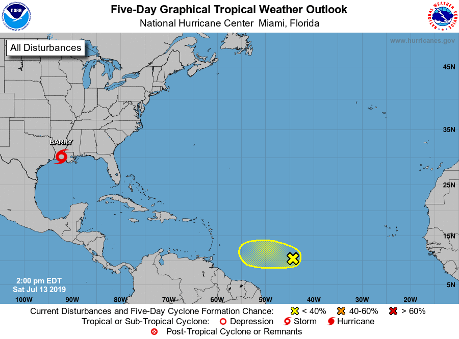
Tropical Weather Outlook
NWS National Hurricane Center Miami FL
200 PM EDT Sat Jul 13 2019
For the North Atlantic...Caribbean Sea and the Gulf of Mexico:
The National Hurricane Center is issuing advisories on Tropical
Storm Barry, located over extreme southern Louisiana.
1. A tropical wave located about midway between the Cabo Verde Islands
and the Windward Islands is producing intermittent disorganized
showers. Environmental conditions appear to be unfavorable for the
formation of a tropical depression, and development, if any, of the
wave will be slow to occur while it moves westward at 15 to 20 mph
during the next couple of days.
* Formation chance through 48 hours...low...10 percent.
* Formation chance through 5 days...low...10 percent.
Forecaster Zelinsky