ZCZC MIATWOAT ALL
TTAA00 KNHC DDHHMM
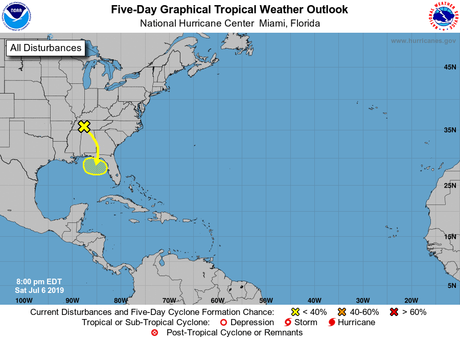
Tropical Weather Outlook
NWS National Hurricane Center Miami FL
800 PM EDT Sat Jul 6 2019
For the North Atlantic...Caribbean Sea and the Gulf of Mexico:
1. A trough of low pressure over western Kentucky, Tennessee and
northern Mississippi is forecast to move southward toward the
northeastern Gulf of Mexico where a low pressure area could form in
a few days. Some gradual development of this system is then possible
while it meanders near the northern Gulf Coast through the middle
of next week.
* Formation chance through 48 hours...low...near 0 percent.
* Formation chance through 5 days...low...20 percent.
Forecaster Zelinsky