ZCZC MIATWOAT ALL
TTAA00 KNHC DDHHMM
Tropical Weather Outlook
NWS National Hurricane Center Miami FL
100 AM EST Sun Nov 18 2018
For the North Atlantic...Caribbean Sea and the Gulf of Mexico:
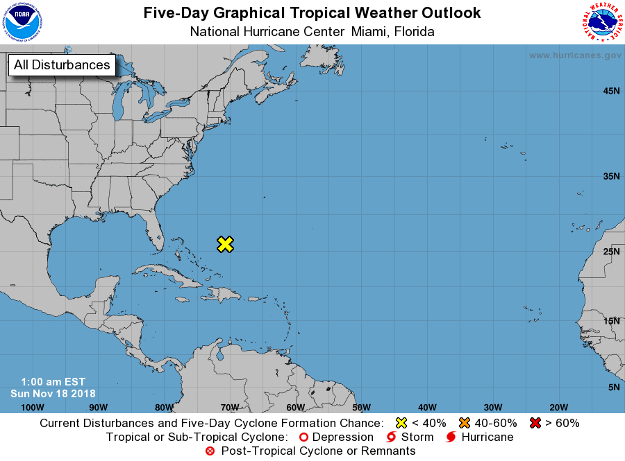
1. A low pressure system located a few hundred miles northeast of the
central Bahamas is producing winds to near gale force and an area of
showers and thunderstorms well to the east of the center. However,
this system is embedded within a large scale frontal zone, and
additional development is not anticipated. Additional information
on this system can be found in High Seas Forecasts issued by the
National Weather Service.
* Formation chance through 48 hours...low...near 0 percent.
* Formation chance through 5 days...low...near 0 percent.
High Seas Forecasts issued by the National Weather Service are under
AWIPS header NFDHSFAT1, WMO header FZNT01 KWBC, and available on the
Web at https://ocean.weather.gov/shtml/NFDHSFAT1.shtml.
Forecaster Beven