ZCZC MIATWOAT ALL
TTAA00 KNHC DDHHMM
Tropical Weather Outlook
NWS National Hurricane Center Miami FL
800 PM EDT Sat Oct 13 2018
For the North Atlantic...Caribbean Sea and the Gulf of Mexico:
The National Hurricane Center has issued the last advisory on
Post-Tropical Cyclone Leslie, located over northern Portugal.
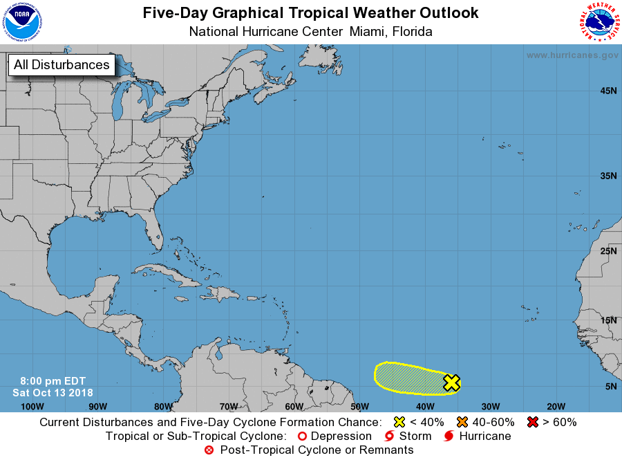
1. A tropical wave located about midway between the west coast of
Africa and the Lesser Antilles is producing a large area of
disorganized showers and thunderstorms. Some slight development
of this system is possible during the next day or two before
environmental conditions become unfavorable. This wave is expected
to move westward at about 15 mph during the next few days.
* Formation chance through 48 hours...low...10 percent.
* Formation chance through 5 days...low...10 percent.
Forecaster Cangialosi