ZCZC MIATWOAT ALL
TTAA00 KNHC DDHHMM
Tropical Weather Outlook
NWS National Hurricane Center Miami FL
200 AM EDT Wed Sep 19 2018
For the North Atlantic...Caribbean Sea and the Gulf of Mexico:
The National Hurricane Center has issued the final advisory on
Post-Tropical Cyclone Joyce, located several hundred miles south
of the Azores.
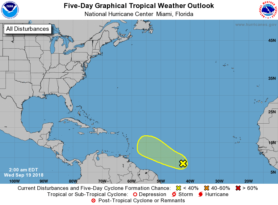
1. A tropical wave is producing a large area of disturbed weather more
than 1200 miles east-southeast of the Lesser Antilles. Environmental
conditions are expected to be somewhat conducive for some slow
development of this system through Friday while the disturbance
moves westward to west-northwestward at 10 to 15 mph. Over the
weekend, however, upper-level winds are expected to become
unfavorable for tropical cyclone formation to occur.
* Formation chance through 48 hours...low...10 percent.
* Formation chance through 5 days...low...20 percent.
Forecaster Stewart