ZCZC MIATWOAT ALL
TTAA00 KNHC DDHHMM
Tropical Weather Outlook
NWS National Hurricane Center Miami FL
200 PM EDT Fri Aug 17 2018
For the North Atlantic...Caribbean Sea and the Gulf of Mexico:
The National Hurricane Center is issuing advisories on Tropical
Storm Ernesto, located several hundred miles north-northwest of the
Azores.
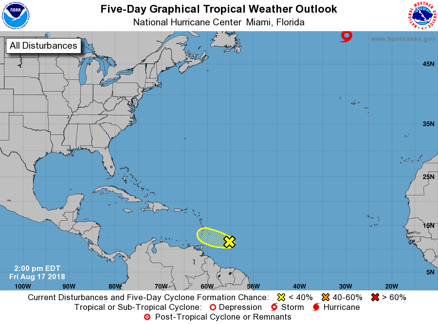
1. A tropical wave located a few hundred miles east of the Windward
Islands is producing disorganized showers and thunderstorms.
Environmental conditions are becoming less conducive and
development of this system is not expected while it moves
westward at about 15 mph. This system is forecast to move through
the Windward Islands on Saturday where it could bring locally heavy
rainfall to portions of the area this weekend.
* Formation chance through 48 hours...low...near 0 percent.
* Formation chance through 5 days...low... near 0 percent.
Forecaster Brown