ZCZC MIATWOAT ALL
TTAA00 KNHC DDHHMM
Tropical Weather Outlook
NWS National Hurricane Center Miami FL
800 PM EDT Tue Aug 14 2018
For the North Atlantic...Caribbean Sea and the Gulf of Mexico:
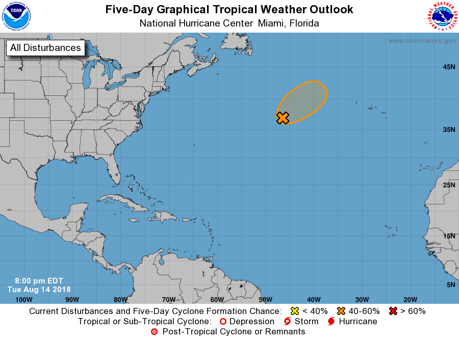
1. A large non-tropical area of low pressure located about 750 miles
south-southeast of Cape Race, Newfoundland, is producing showers and
thunderstorms over the eastern and southern portions of its
circulation as it interacts with a strong upper-level trough. While
satellite imagery indicates that the low currently lacks a well-
defined center, this system could acquire some additional
subtropical characteristics during the next day or so. Later this
week, the low is expected to move northeastward over colder waters
and merge with a frontal zone over the northern Atlantic.
* Formation chance through 48 hours...medium...40 percent.
* Formation chance through 5 days...medium...40 percent.
Forecaster Brennan