ZCZC MIATWOAT ALL
TTAA00 KNHC DDHHMM
Tropical Weather Outlook
NWS National Hurricane Center Miami FL
200 AM EDT Sun Aug 12 2018
For the North Atlantic...Caribbean Sea and the Gulf of Mexico:
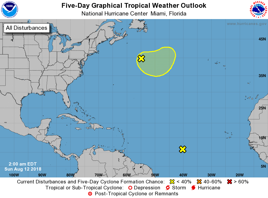
1. Shower and thunderstorm activity has continued to diminish near a
weak area of low pressure located about midway between the west
coast of Africa and the Lesser Antilles. Development of this
system is not expected while it moves slowly westward during the
next several days.
* Formation chance through 48 hours...low...near 0 percent.
* Formation chance through 5 days...low...near 0 percent.
2. A non-tropical low pressure system has formed about 500 miles south
of Cape Race, Newfoundland, and is producing a concentrated area of
showers and thunderstorms displaced well to the south of its center
of circulation. This low could gradually acquire subtropical or
tropical characteristics through the middle of the week while it
meanders over the central subtropical Atlantic Ocean.
* Formation chance through 48 hours...low...10 percent.
* Formation chance through 5 days...low...20 percent.
Forecaster Berg