ZCZC MIATWOAT ALL
TTAA00 KNHC DDHHMM
Tropical Weather Outlook
NWS National Hurricane Center Miami FL
800 AM EDT Sat Jul 14 2018
For the North Atlantic...Caribbean Sea and the Gulf of Mexico:
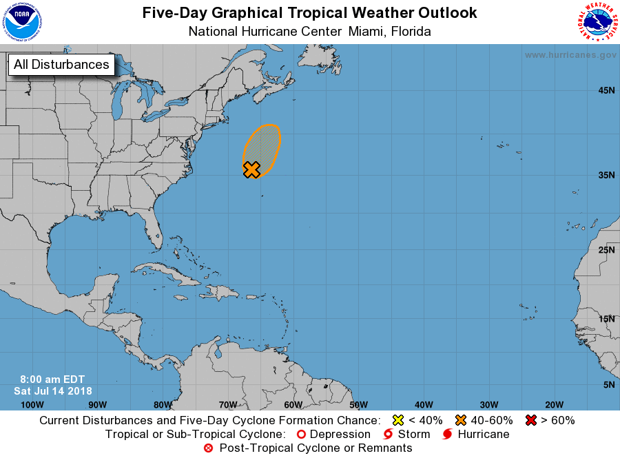
1. An area of low pressure, associated with the remnants of Beryl, is
located about 250 miles north-northwest of Bermuda. This system has
become better organized during the past several hours, and it is
producing winds of near gale force east of the center. Some
additional development is possible today and tonight, and a
subtropical or tropical cyclone could form before the system moves
over cold water north of the Gulf Stream on Sunday. Additional
information on this system can be found in High Seas Forecasts
issued by the National Weather Service, under AWIPS header
NFDHSFAT1, WMO header FZNT01 KWBC, and available on the Web
at https://ocean.weather.gov/shtml/NFDHSFAT1.shtml.
* Formation chance through 48 hours...medium...50 percent.
* Formation chance through 5 days...medium...50 percent.
Forecaster Beven