ZCZC MIATWOAT ALL
TTAA00 KNHC DDHHMM
Special Tropical Weather Outlook
NWS National Hurricane Center Miami FL
805 AM EDT Wed May 16 2018
For the North Atlantic...Caribbean Sea and the Gulf of Mexico:
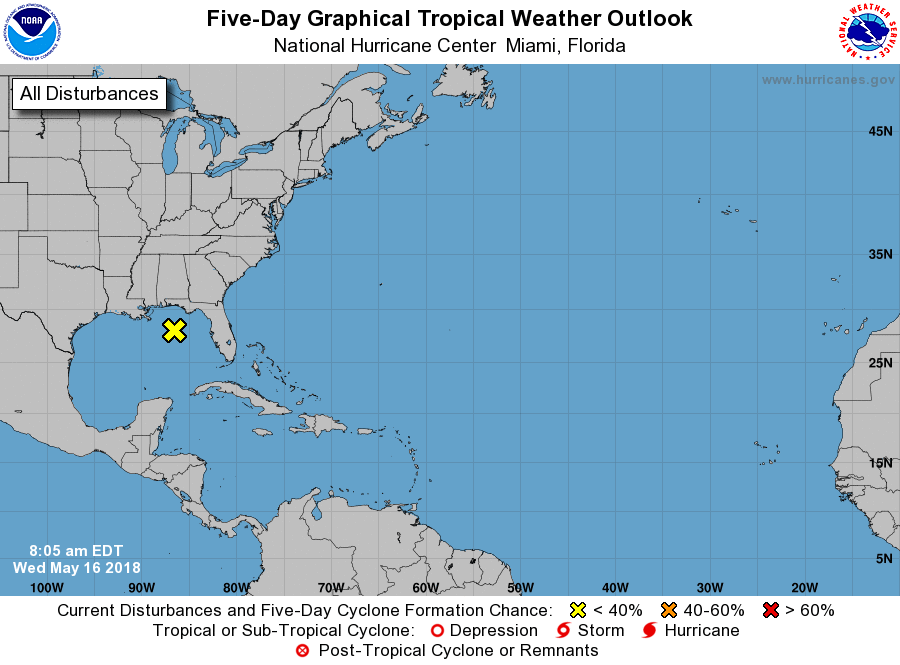
1. A broad non-tropical area of low pressure located over the
northeastern Gulf of Mexico is producing widespread cloudiness,
showers, and thunderstorms across much of Florida, western Cuba and
a good portion of the Bahamas. This system is forecast to
degenerate into a trough of low pressure, and tropical cyclone
formation is not anticipated. This is the last Special Tropical
Weather Outlook on this system, but additional information will be
included in products issued by your local weather office. Routine
Tropical Weather Outlooks will resume on June 1.
* Formation chance through 48 hours...low...near 0 percent.
* Formation chance through 5 days...low...near 0 percent.
Forecaster Avila