ZCZC MIATWOAT ALL
TTAA00 KNHC DDHHMM
Special Tropical Weather Outlook
NWS National Hurricane Center Miami FL
1045 AM EDT Fri May 4 2018
For the North Atlantic...Caribbean Sea and the Gulf of Mexico:
A large area of showers and thunderstorms near the Bahamas is
associated with an upper-level low pressure system and a surface
trough. The system is forecast to move westward over the Florida
peninsula on Saturday with no significant development. Locally
heavy rains and gusty winds are possible over portions of the
Bahamas and southern Florida through this weekend. Please monitor
products from your local weather office for more details. No
additional Special Outlooks on this system will be issued unless
conditions warrant.
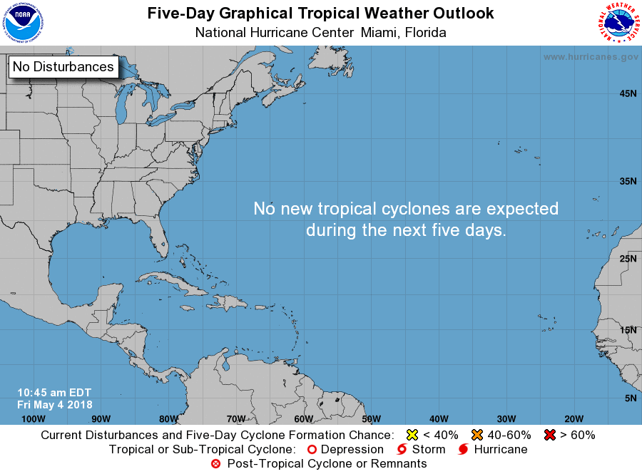
* Formation chance through 48 hours...low...near 0 percent.
* Formation chance through 5 days...low...near 0 percent.
$$
Forecaster Pasch/Blake
NNNN