ZCZC MIATWOAT ALL
TTAA00 KNHC DDHHMM
Tropical Weather Outlook
NWS National Hurricane Center Miami FL
700 AM EST Sat Nov 18 2017
For the North Atlantic...Caribbean Sea and the Gulf of Mexico:
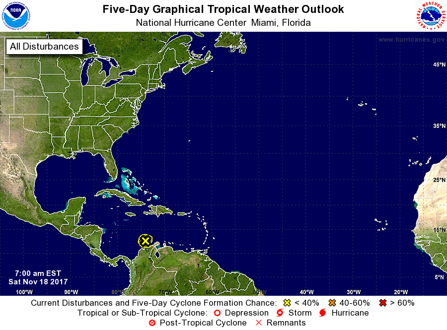
1. An elongated area of low pressure continues to produce disorganized
showers and thunderstorms over the central Caribbean Sea, as well
as portions of the Dominican Republic and northern Colombia.
Development of this system into a tropical cyclone is not expected
due to strong upper-level winds while it drifts northward during he
next couple of days. However, locally heavy rainfall will be
possible over portions of the northern coast of Colombia, eastern
Dominican Republic, and Puerto Rico through the weekend. For
additional information concerning the heavy rainfall threat, please
consult products issued by your local weather service office.
* Formation chance through 48 hours...low...near 0 percent.
* Formation chance through 5 days...low...near 0 percent.
Forecaster Stewart