ZCZC MIATWOAT ALL
TTAA00 KNHC DDHHMM
Tropical Weather Outlook
NWS National Hurricane Center Miami FL
700 AM EST Wed Nov 15 2017
For the North Atlantic...Caribbean Sea and the Gulf of Mexico:
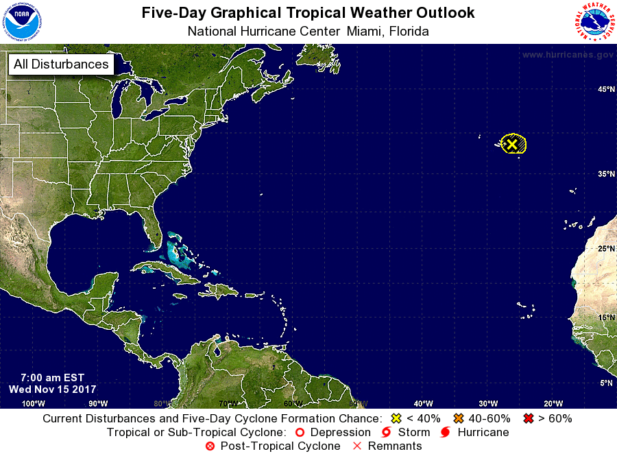
1. A broad area of low pressure located near the central and eastern
Azores is producing disorganized shower activity while it moves
northeastward at around 10 mph. Environmental conditions are
expected to remain unfavorable for subtropical cyclone formation
before the low dissipates in the next day or so. For additional
information on this system, see High Seas Forecasts issued by
Meteo-France.
* Formation chance through 48 hours...low...10 percent.
* Formation chance through 5 days...low...10 percent.
High Seas Forecasts issued by Meteo-France can be found under WMO
header FQNT50 LFPW and on the web at
http://www.meteofrance.com/previsions-meteo-marine/bulletin.
Forecaster Brennan