ZCZC MIATWOAT ALL
TTAA00 KNHC DDHHMM
Tropical Weather Outlook
NWS National Hurricane Center Miami FL
700 PM EST Tue Nov 14 2017
For the North Atlantic...Caribbean Sea and the Gulf of Mexico:
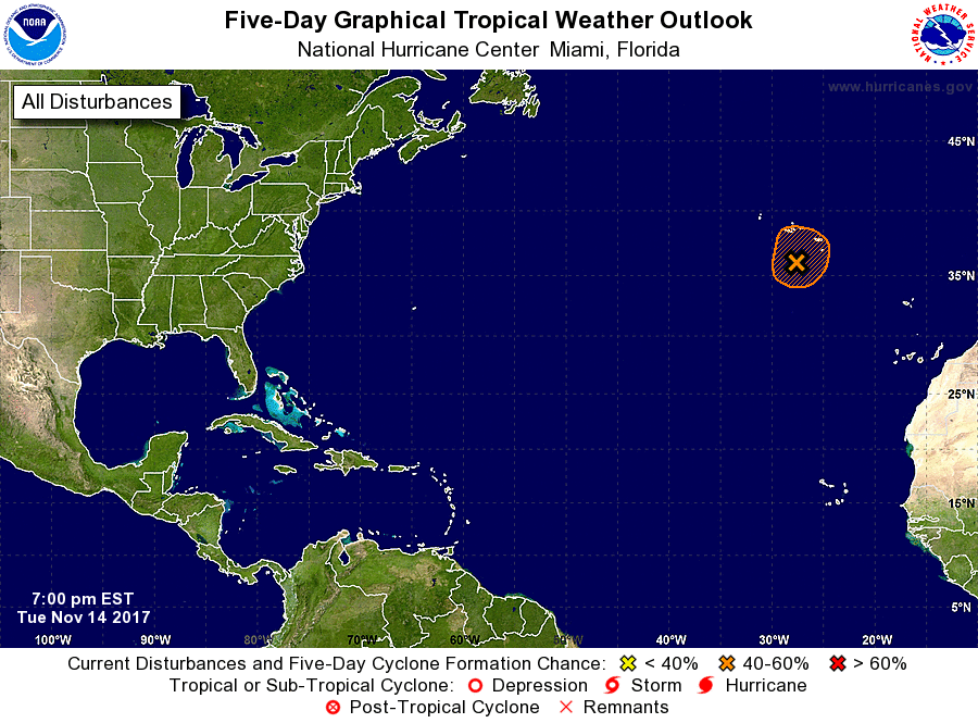
1. Showers and thunderstorms remain disorganized in association with a
broad area of low pressure located about 150 miles south-southwest
of the Azores. However, this system still has some potential to
become a subtropical cyclone during the next day or so before
upper-level winds become unfavorable. For additional information on
this system, see High Seas Forecasts issued by Meteo-France.
* Formation chance through 48 hours...medium...40 percent.
* Formation chance through 5 days...medium...40 percent.
High Seas Forecasts issued by Meteo-France can be found under WMO
header FQNT50 LFPW and on the web at
http://www.meteofrance.com/previsions-meteo-marine/bulletin.
Forecaster Stewart