ZCZC MIATWOAT ALL
TTAA00 KNHC DDHHMM
Tropical Weather Outlook
NWS National Hurricane Center Miami FL
100 AM EST Mon Nov 6 2017
For the North Atlantic...Caribbean Sea and the Gulf of Mexico:
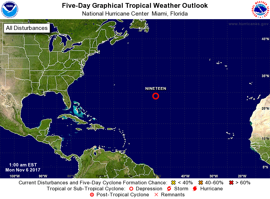
1. Thunderstorm activity associated with a well-defined low pressure
system located about 850 miles east-southeast of Bermuda continues
to show signs of organization, and a tropical depression may be
forming. Environmental conditions are expected to be favorable
for further development during the next couple of days while the
system moves north-northeastward over the open Atlantic. However,
conditions are forecast to become less conducive for tropical
cyclone formation by the middle part of this week, when the system
is expected to reach colder water and merge with a cold front.
* Formation chance through 48 hours...high...80 percent.
* Formation chance through 5 days...high...80 percent.
Forecaster Stewart