Skip Navigation Links
NOAA NOAA United States Department of Commerce

NHC Graphical Outlook Archive


« Earliest Available         ‹ Earlier         Later ›         Latest Available »
GIS Shapefiles
tab Eastern North Pacific tab tab Atlantic tab

View 2-Day Graphical Tropical Weather Outlook
Click for Eastern North Pacific Click for Eastern North Pacific

Tropical Weather Outlook Text

ZCZC MIATWOAT ALL
TTAA00 KNHC DDHHMM

Tropical Weather Outlook
NWS National Hurricane Center Miami FL
800 PM EDT Fri Nov 3 2017

For the North Atlantic...Caribbean Sea and the Gulf of Mexico:

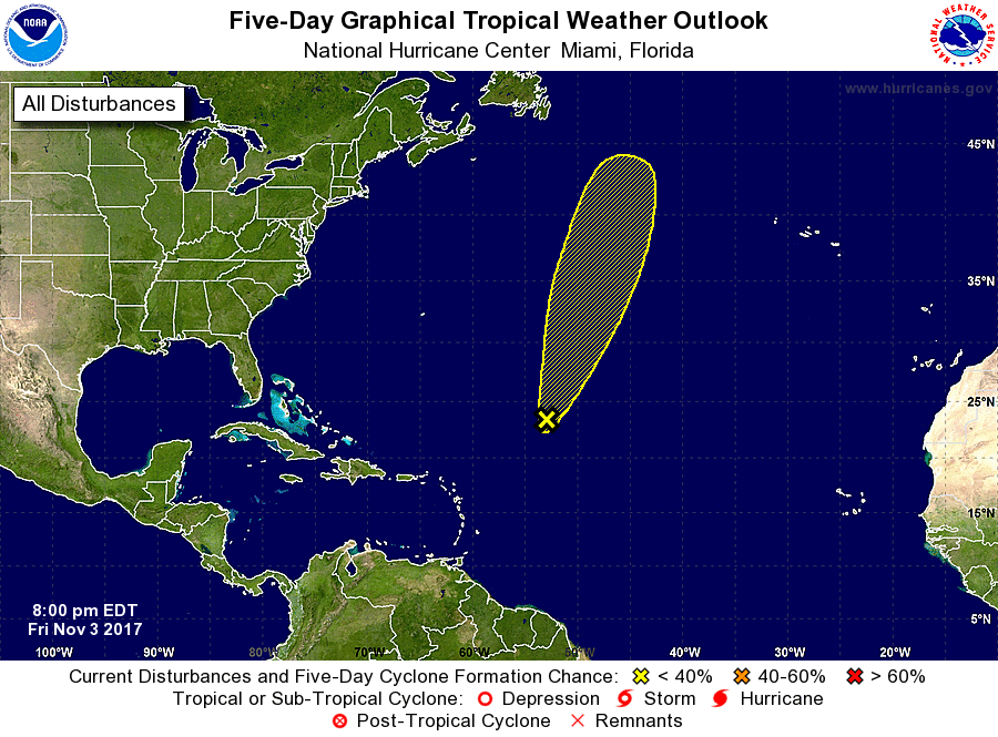
1. Satellite imagery indicates that a weak area of low pressure has
formed about 1000 miles southeast of Bermuda, accompanied by
disorganized shower and thunderstorm activity.  This low could
acquire some tropical or subtropical characteristics as it moves to
the north-northeast over the central Atlantic this weekend and
early next week.
* Formation chance through 48 hours...low...10 percent.
* Formation chance through 5 days...low...30 percent.

Forecaster Beven


List of Atlantic Outlooks (May 2023 - present)
List of East Pacific Outlooks (May 2023 - present)
List of Central Pacific Outlooks (May 2023 - present)
List of Atlantic Outlooks (July 2014 - April 2023)
List of East Pacific Outlooks (July 2014 - April 2023)
List of Central Pacific Outlooks (June 2019 - April 2023)
List of Atlantic Outlooks (June 2009 - June 2014)
List of East Pacific Outlooks (June 2009 - June 2014)