Skip Navigation Links
NOAA NOAA United States Department of Commerce

NHC Graphical Outlook Archive


« Earliest Available         ‹ Earlier         Later ›         Latest Available »
GIS Shapefiles
tab Eastern North Pacific tab tab Atlantic tab

View 2-Day Graphical Tropical Weather Outlook
Click for Eastern North Pacific Click for Eastern North Pacific

Tropical Weather Outlook Text

ZCZC MIATWOAT ALL
TTAA00 KNHC DDHHMM

Tropical Weather Outlook
NWS National Hurricane Center Miami FL
200 AM EDT Wed Nov 1 2017

For the North Atlantic...Caribbean Sea and the Gulf of Mexico:

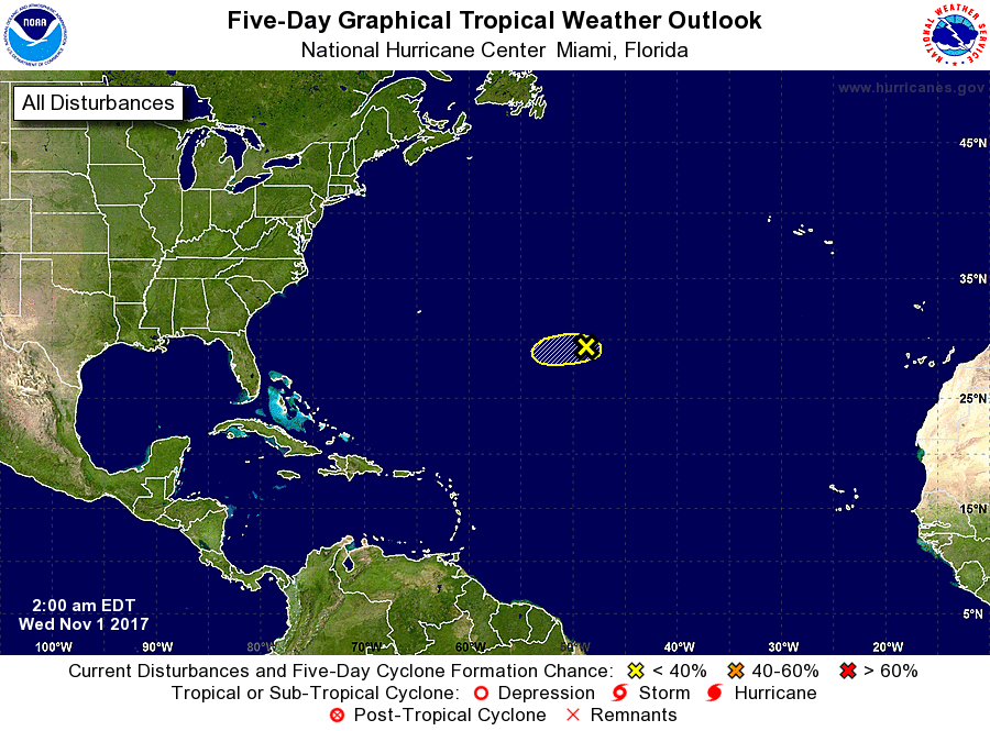
1. A weak and non-tropical area of low pressure located about 1000
miles east-southeast of Bermuda is producing a minimal amount of
shower activity.  Subtropical or tropical development of the low is
not expected due to unfavorable environmental conditions while the
system moves westward near 10 mph during the next couple of days.
* Formation chance through 48 hours...low...near 0 percent.
* Formation chance through 5 days...low...near 0 percent.

Forecaster Cangialosi


List of Atlantic Outlooks (May 2023 - present)
List of East Pacific Outlooks (May 2023 - present)
List of Central Pacific Outlooks (May 2023 - present)
List of Atlantic Outlooks (July 2014 - April 2023)
List of East Pacific Outlooks (July 2014 - April 2023)
List of Central Pacific Outlooks (June 2019 - April 2023)
List of Atlantic Outlooks (June 2009 - June 2014)
List of East Pacific Outlooks (June 2009 - June 2014)