ZCZC MIATWOAT ALL
TTAA00 KNHC DDHHMM
Tropical Weather Outlook
NWS National Hurricane Center Miami FL
800 PM EDT Sun Oct 15 2017
For the North Atlantic...Caribbean Sea and the Gulf of Mexico:
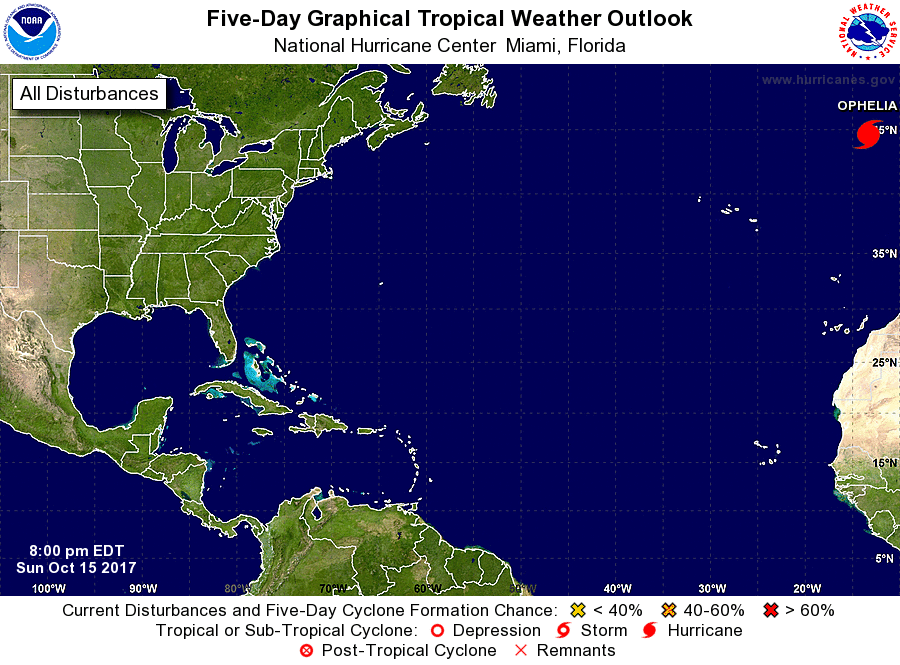
The National Hurricane Center is issuing advisories on Hurricane
Ophelia, located over the far eastern Atlantic Ocean a few hundred
miles south-southwest of Ireland.
A large area of showers and thunderstorms located over the
southwestern Atlantic Ocean between Puerto Rico and Bermuda is
associated with a broad area of low pressure, which is centered
about 150 miles east-northeast of the Turks and Caicos Islands.
Any development of this low while it moves generally northward over
the western Atlantic during the next day or so is expected to be
slow to occur due to strong upper-level winds, and the system is
likely to merge with a front and become extratropical in a couple of
days.
* Formation chance through 48 hours...low...30 percent.
* Formation chance through 5 days...medium...40 percent.
$$
Forecaster Berg
NNNN