ZCZC MIATWOAT ALL
TTAA00 KNHC DDHHMM
Tropical Weather Outlook
NWS National Hurricane Center Miami FL
800 AM EDT Fri Oct 13 2017
For the North Atlantic...Caribbean Sea and the Gulf of Mexico:
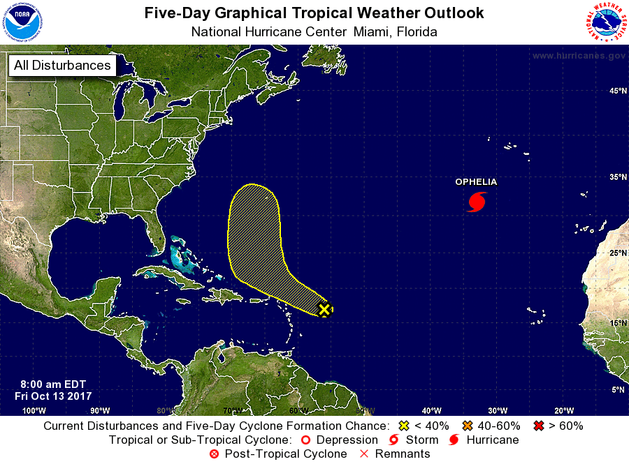
The National Hurricane Center is issuing advisories on Hurricane
Ophelia, located over the eastern Atlantic Ocean several hundred
miles southwest of the Azores.
1. Shower and thunderstorm activity has increased since yesterday in
association with a broad area of low pressure located about 350
miles east of the northern Leeward Islands. Upper-level winds are
not expected to be conducive for significant development during the
next couple of days while the system moves west-northwestward at 15
to 20 mph and passes north of the Leeward Islands and the Virgin
Islands. However, environmental conditions could become a little
more conducive for some development early next week while the system
begins to move northward over the west-central Atlantic Ocean.
* Formation chance through 48 hours...low...10 percent.
* Formation chance through 5 days...low...30 percent.
Forecaster Brennan