ZCZC MIATWOAT ALL
TTAA00 KNHC DDHHMM
Tropical Weather Outlook
NWS National Hurricane Center Miami FL
800 AM EDT Fri Oct 6 2017
For the North Atlantic...Caribbean Sea and the Gulf of Mexico:
The National Hurricane Center is issuing advisories on Tropical
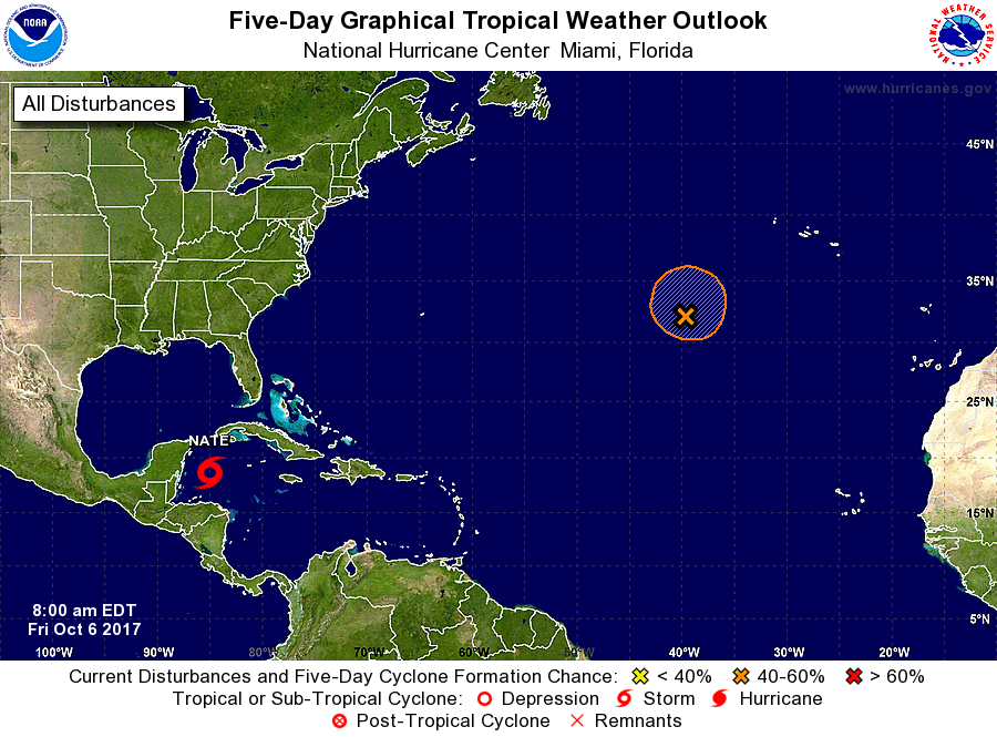
Storm Nate, located over the northwestern Caribbean Sea.
1. A non-tropical area of low pressure is forecast to form along a
frontal boundary about 800 miles southwest of the Azores on
Saturday. Environmental conditions suggest the low will then
acquire some tropical or subtropical characteristics, and a
tropical or subtropical cyclone could form early next week. The low
is forecast to drift over the northeastern Atlantic for the next
several days.
* Formation chance through 48 hours...low...10 percent.
* Formation chance through 5 days...medium...40 percent.
Forecaster Blake