ZCZC MIATWOAT ALL
TTAA00 KNHC DDHHMM
Tropical Weather Outlook
NWS National Hurricane Center Miami FL
800 AM EDT Tue Oct 3 2017
For the North Atlantic...Caribbean Sea and the Gulf of Mexico:
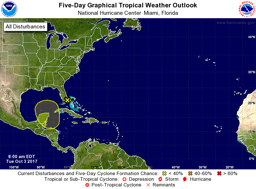
1. A trough of low pressure is moving westward over southern Florida,
producing showers and gusty winds. Upper-level winds are not
favorable for tropical cyclone formation.
* Formation chance through 48 hours...low...near 0 percent.
* Formation chance through 5 days...low...near 0 percent.
2. An area of low pressure is expected to form over the northwestern
Caribbean Sea within the next few days. Some slow development of
this system is possible by the weekend while the low drifts
northward into the southern Gulf of Mexico.
* Formation chance through 48 hours...low...near 0 percent.
* Formation chance through 5 days...low...30 percent.
Forecaster Pasch