ZCZC MIATWOAT ALL
TTAA00 KNHC DDHHMM
Tropical Weather Outlook
NWS National Hurricane Center Miami FL
800 PM EDT Mon Jul 17 2017
For the North Atlantic...Caribbean Sea and the Gulf of Mexico:
The National Hurricane Center is issuing advisories on newly formed
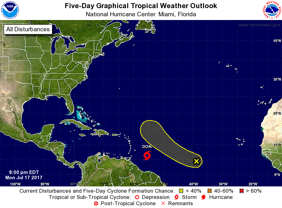
Tropical Storm Don located about 400 miles southeast of Barbados.
1. A tropical wave is centered over the tropical central Atlantic and
is producing limited showers and thunderstorms. Some gradual
development of this system is possible over the next few days while
it moves slowly toward the west-northwest or northwest at 10 to 15
mph.
* Formation chance through 48 hours...low...20 percent.
* Formation chance through 5 days...low...30 percent.
Public Advisories on Tropical Storm Don are issued under WMO header
WTNT35 KNHC and under AWIPS header MIATCPAT5.
Forecast/Advisories on Tropical Storm Don are issued under WMO
header WTNT25 KNHC and under AWIPS header MIATCMAT5.
Forecaster Roberts