ZCZC MIATWOAT ALL
TTAA00 KNHC DDHHMM
Tropical Weather Outlook
NWS National Hurricane Center Miami FL
200 AM EDT Wed Jul 5 2017
For the North Atlantic...Caribbean Sea and the Gulf of Mexico:
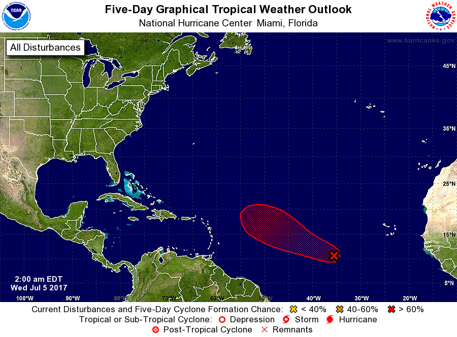
1. Satellite images continue to indicate that the cloud pattern
associated with the broad area of low pressure centered about 800
miles west-southwest of the Cabo Verde Islands has changed little in
organization since yesterday. Environmental conditions remain
favorable for a tropical cyclone to form within the next day or two
while the low moves westward or west-northwestward at 10 to 15 mph
across the tropical Atlantic. After that time, the system is
expected to encounter a drier and more stable air mass, which should
be less favorable for development.
* Formation chance through 48 hours...high...70 percent.
* Formation chance through 5 days...high...80 percent.
Forecaster Beven