ZCZC MIATWOAT ALL
TTAA00 KNHC DDHHMM
Tropical Weather Outlook
NWS National Hurricane Center Miami FL
800 AM EDT Sun Jun 4 2017
For the North Atlantic...Caribbean Sea and the Gulf of Mexico:
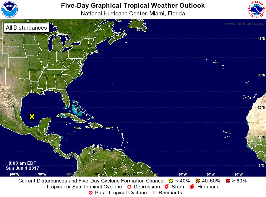
1. A weak area of low pressure, associated with the remnants of eastern
Pacific Tropical Storm Beatriz, is located over the southern Gulf of
Mexico about 275 miles east of Tampico, Mexico. While some
disorganized shower and thunderstorm activity has developed
overnight, tropical cyclone formation is not expected due to strong
upper-level winds. For additional information on this system,
please see High Seas Forecasts issued by the National Weather
Service.
* Formation chance through 48 hours...low...near 0 percent.
* Formation chance through 5 days...low...near 0 percent.
High Seas Forecasts issued by the National Weather Service can be
found under AWIPS header NFDHSFAT1, WMO header FZNT01 KWBC, and on
the Web at http://www.opc.ncep.noaa.gov/shtml/NFDHSFAT1.shtml.
Forecaster Brennan