ZCZC MIATWOAT ALL
TTAA00 KNHC DDHHMM
TROPICAL WEATHER OUTLOOK
NWS NATIONAL HURRICANE CENTER MIAMI FL
200 AM EDT SAT OCT 29 2016
For the North Atlantic...Caribbean Sea and the Gulf of Mexico:
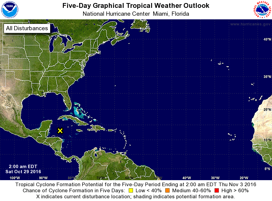
1. Disorganized showers and thunderstorms over the northwestern
Caribbean Sea, the southeastern Gulf of Mexico, and the Straits of
Florida are associated with a broad area of low pressure located
over a hundred miles north of the coast of Honduras. Development of
this system is not expected due to strong upper-level winds.
However, the low is forecast to move little over the next couple of
days, and locally heavy rainfall is possible across portions of the
eastern Yucatan peninsula, Cuba, the Cayman Islands, Jamaica,
extreme southern Florida, and the Bahamas through the weekend.
* Formation chance through 48 hours...low...near 0 percent
* Formation chance through 5 days...low...near 0 percent
Forecaster Berg