ZCZC MIATWOAT ALL
TTAA00 KNHC DDHHMM
TROPICAL WEATHER OUTLOOK
NWS NATIONAL HURRICANE CENTER MIAMI FL
800 AM EDT MON OCT 3 2016
For the North Atlantic...Caribbean Sea and the Gulf of Mexico:
The National Hurricane Center is issuing advisories on Hurricane
Matthew, located over the central Caribbean Sea to the south-
southeast of Jamaica.
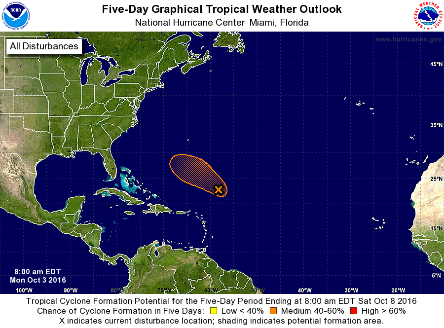
1. A broad area of low pressure located about 400 miles northeast
of the northern Leeward Islands continues to produce disorganized
showers and thunderstorms. Some development of this low is possible
during the next couple of days before upper-level winds become
unfavorable for development. This system is expected to move
west-northwestward to northwestward at 10 to 15 mph during the next
few days.
* Formation chance through 48 hours...medium...40 percent
* Formation chance through 5 days...medium...40 percent
Forecaster Pasch