ZCZC MIATWOAT ALL
TTAA00 KNHC DDHHMM
TROPICAL WEATHER OUTLOOK
NWS NATIONAL HURRICANE CENTER MIAMI FL
800 PM EDT SUN OCT 2 2016
For the North Atlantic...Caribbean Sea and the Gulf of Mexico:
The National Hurricane Center is issuing advisories on Hurricane
Matthew, located over the central Caribbean Sea to the south-
southeast of Jamaica.
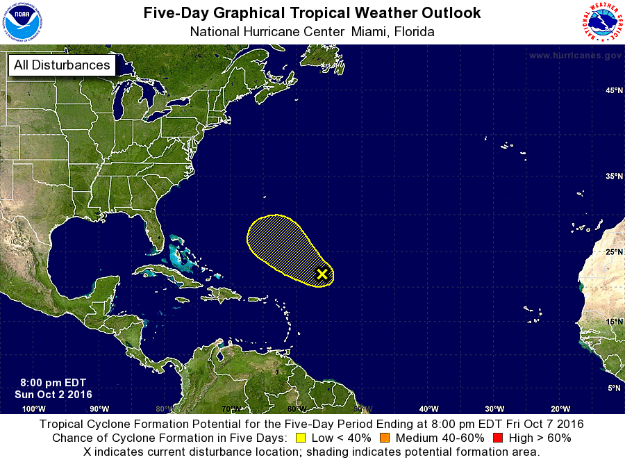
1. A broad low pressure system located about 500 miles northeast of the
Leeward Islands is producing disorganized showers and thunderstorms.
Some development of this low could occur in the next couple of days
before strong upper-level winds make conditions unfavorable for
formation. This system is expected to move northwestward at 10 to
15 mph during the next few days.
* Formation chance through 48 hours...low...30 percent
* Formation chance through 5 days...low...30 percent
Forecaster Landsea