ZCZC MIATWOAT ALL
TTAA00 KNHC DDHHMM
TROPICAL WEATHER OUTLOOK
NWS NATIONAL HURRICANE CENTER MIAMI FL
200 PM EDT MON SEP 12 2016
For the North Atlantic...Caribbean Sea and the Gulf of Mexico:
The National Hurricane Center has begun issuing advisories on newly
formed Tropical Storm Ian, located well to the southeast of Bermuda.
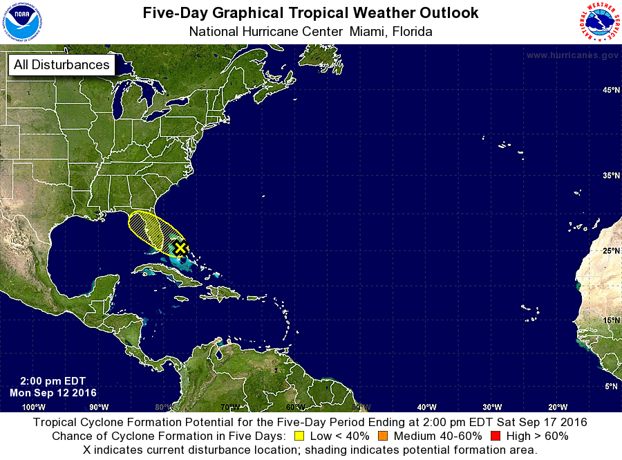
1. Disorganized shower activity continues in association with a
disturbance near the northwestern Bahamas. This system does not
have a closed surface circulation, and conditions are not conducive
for significant development while the disturbance moves
west-northwestward to northwestward at 10 to 15 mph. However,
locally heavy rainfall is possible over portions of the central and
northwestern Bahamas today, and portions of the Florida peninsula on
Tuesday.
* Formation chance through 48 hours...low...10 percent
* Formation chance through 5 days...low...10 percent
Public Advisories on Tropical Storm Ian are issued under WMO header
WTNT35 KNHC and under AWIPS header MIATCPAT5.
Forecast/Advisories on Tropical Storm Ian are issued under WMO
header WTNT25 KNHC and under AWIPS header MIATCMAT5.
Forecaster Pasch