ZCZC MIATWOAT ALL
TTAA00 KNHC DDHHMM
TROPICAL WEATHER OUTLOOK
NWS NATIONAL HURRICANE CENTER MIAMI FL
800 PM EDT SUN SEP 4 2016
For the North Atlantic...Caribbean Sea and the Gulf of Mexico:
The National Hurricane Center is issuing advisories on Post-Tropical
Cyclone Hermine, located off of the mid-Atlantic coast of the United
States.
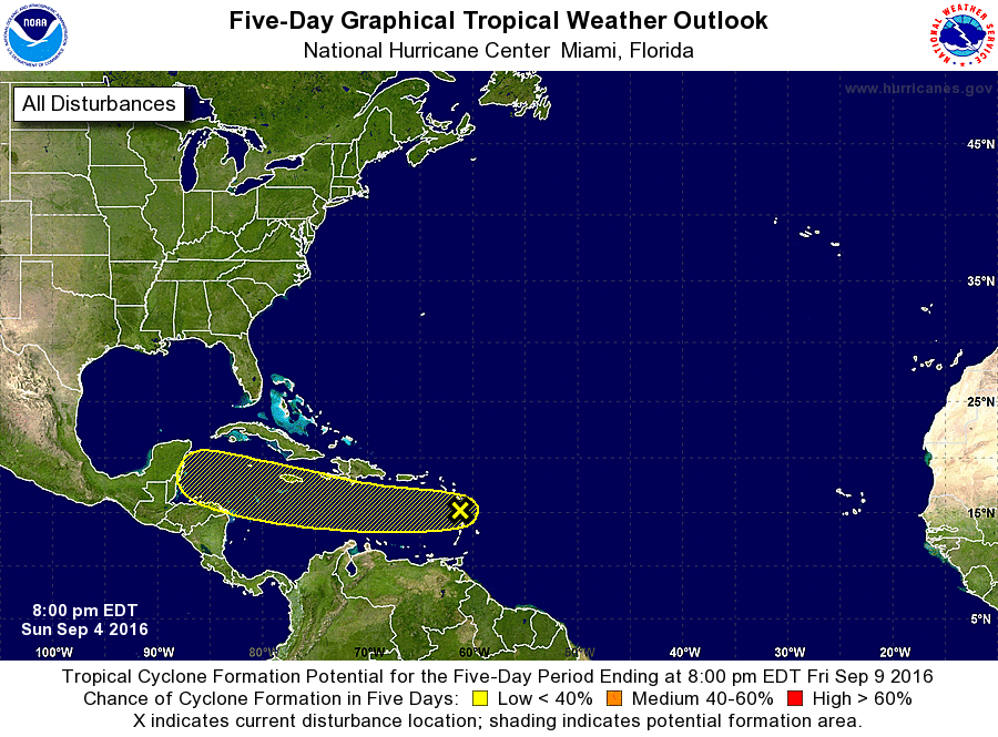
1. A broad area of low pressure associated with a tropical wave is
moving across the Lesser Antilles and continues to produce a large
area of disorganized showers and thunderstorms. Significant
development of this system appears unlikely while it moves westward
at 15 to 20 mph across the Caribbean Sea during the next several
days. This disturbance will continue to produce locally heavy
rainfall and gusty winds over portions of the Lesser Antilles
through Monday morning, and should spread over Puerto Rico and
Hispaniola during the next couple of days.
* Formation chance through 48 hours...low...20 percent
* Formation chance through 5 days...low...30 percent
Forecaster Brown