ZCZC MIATWOAT ALL
TTAA00 KNHC DDHHMM
TROPICAL WEATHER OUTLOOK
NWS NATIONAL HURRICANE CENTER MIAMI FL
200 PM EDT WED AUG 31 2016
For the North Atlantic...Caribbean Sea and the Gulf of Mexico:
The National Hurricane Center is issuing advisories on Hurricane
Gaston, located well east of Bermuda, on Tropical Depression Eight,
located east of North Carolina, and on recently upgraded Tropical
Storm Hermine, located over the south-central Gulf of Mexico.
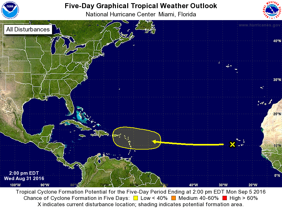
1. A broad area of low pressure, associated with a tropical wave, is
located over the far eastern Atlantic just west of the Cabo Verde
Islands. This wave is expected to be in an environment of very dry
air for the next few days, which should prevent significant
development during that time. Environmental conditions could
become a little more conducive for slow development on Sunday or
Monday when the wave is near the Lesser Antilles.
* Formation chance through 48 hours...low...near 0 percent
* Formation chance through 5 days...low...30 percent
Forecaster Blake