ZCZC MIATWOAT ALL
TTAA00 KNHC DDHHMM
TROPICAL WEATHER OUTLOOK
NWS NATIONAL HURRICANE CENTER MIAMI FL
800 AM EDT WED AUG 10 2016
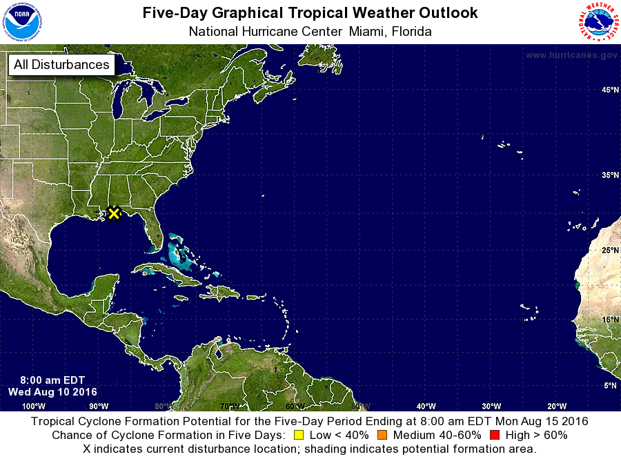
For the North Atlantic...Caribbean Sea and the Gulf of Mexico:
1. A broad area of low pressure has emerged over the extreme northern
Gulf of Mexico just south of Mobile, Alabama. This disturbance
continues to produce a large area of cloudiness and disorganized
thunderstorms over much of the north-central and northeastern
portions of the Gulf of Mexico and adjacent land areas. This system
is forecast to remain close to land and little or no development is
expected due to unfavorable upper-level winds. However, locally
heavy rainfall will be possible along portions of the northern and
northeastern coastal areas of the Gulf of Mexico during the next few
days.
* Formation chance through 48 hours...low...near 0 percent
* Formation chance through 5 days...low...near 0 percent
Forecaster Stewart