


NHC Graphical Outlook Archive
|
« Earliest Available ‹ Earlier Later › Latest Available » |
GIS Shapefiles |
| Eastern Pacific | Atlantic |
|
|
(mouse over shaded areas for details; click on shaded areas or disturbance numbers to switch views) |
Tropical Weather Outlook Text
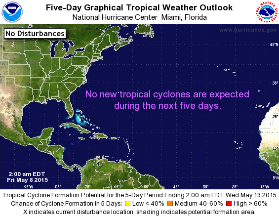
ZCZC MIATWOAT ALL
TTAA00 KNHC DDHHMM

TROPICAL WEATHER OUTLOOK
NWS NATIONAL HURRICANE CENTER MIAMI FL
200 AM EDT FRI MAY 8 2015

For the North Atlantic...Caribbean Sea and the Gulf of Mexico:

The National Hurricane Center is issuing advisories on newly formed
Subtropical Storm Ana, located about 170 miles south-southeast of
Myrtle Beach, South Carolina.

Tropical cyclone formation is not expected during the next 5 days.

Unless conditions warrant, this will be the last Special Tropical
Weather Outlook issued until June 1, 2015, which marks the first
day of the Atlantic Hurricane Season.

&&

Public Advisories on Ana are issued under WMO header WTNT31 KNHC and
under AWIPS header MIATCPAT1. Forecast/Advisories on Ana are issued
under WMO header WTNT21 KNHC and under AWIPS header MIATCMAT1.

$$
Forecaster Stewart/Roberts
NNNN
List of Atlantic Outlooks (May 2023 - present)
List of East Pacific Outlooks (May 2023 - present)
List of Central Pacific Outlooks (May 2023 - present)
List of Atlantic Outlooks (July 2014 - April 2023)
List of East Pacific Outlooks (July 2014 - April 2023)
List of Central Pacific Outlooks (June 2019 - April 2023)
List of Atlantic Outlooks (June 2009 - June 2014)
List of East Pacific Outlooks (June 2009 - June 2014)