Skip Navigation Links
NOAA NOAA United States Department of Commerce

Top News of the Day... view past news Last update Wed, 11 Jun 2025 00:40:10 UTC  
blue line for news table
Central Pacific Eastern Pacific Atlantic

View 2-Day Graphical Tropical Weather Outlook
Click for Eastern Pacific
Active Storms | Marine Forecasts
Tropical Atlantic Full Basin Gulf of America Atlantic Offshore Waters Caribbean Tropical East Pacific Forecast Graphics Tropical East Pacific Full Basin Mexico Offshore Waters Central America Offshore Waters North Atlantic Marine Forecasts

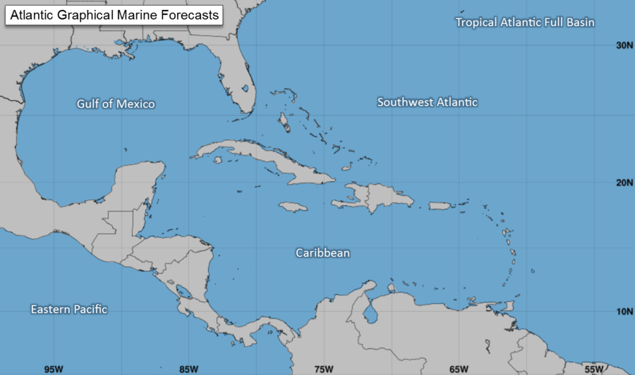
Atlantic - Caribbean Sea - Gulf of America
Tropical Weather Outlook (en Español*)
800 PM EDT Tue Jun 10 2025
Tropical Weather Discussion
0015 UTC Wed Jun 11 2025
There are no tropical cyclones in the Atlantic at this time.


Eastern North Pacific (East of 140°W)
Tropical Weather Outlook (en Español*)
500 PM PDT Tue Jun 10 2025
Tropical Weather Discussion
2205 UTC Tue Jun 10 2025
TC Type ImageTropical Storm Barbara RSS Feed icon Satellite | Buoys | Grids | Storm Archive
...BARBARA EXPECTED TO BECOME A REMNANT LOW SOON...
2:00 PM MST Tue Jun 10
Location: 20.9°N 108.1°W
Moving: N at 8 mph
Min pressure: 1004 mb
Max sustained: 40 mph

Public
Advisory
#11

200 PM MST
Forecast
Advisory
#11

2100 UTC
Forecast
Discussion
#11

200 PM MST
Wind Speed
Probabilities
#11

2100 UTC
 
Productos en español:
(más información)

Aviso
Publico

Pronóstico
Discusión

34-knot Wind Speed Probability
Wind Speed
Probabilities
Earliest Reasonable Time of Arrival of 34-knot winds
Arrival Time
of Winds
Wind History
Wind
History
Google Maps API Warnings and Track Forecast Cone
Warnings/Cone
Interactive Map
Warnings and 5-Day Cone
Warnings/Cone
Static Images
Surface Wind Field
Warnings and
Surface Wind
Rip Currents
Rip
Currents
TC Type ImageTropical Storm Cosme RSS Feed icon Satellite | Buoys | Grids | Storm Archive
...COSME CONTINUES TO WEAKEN... ...EXPECTED TO BECOME A REMNANT LOW ON WEDNESDAY...
21:00 UTC TUE JUN 10 2025
Location: 15.8°N 115.1°W
Moving: NNW at 3 mph
Min pressure: 1001 mb
Max sustained: 50 mph

Public
Advisory
#10

200 PM PDT
Forecast
Advisory
#10

2100 UTC
Forecast
Discussion
#10

200 PM PDT
Wind Speed
Probabilities
#10

2100 UTC
 
Productos en español:
(más información)

Aviso
Publico

Pronóstico
Discusión

34-knot Wind Speed Probability
Wind Speed
Probabilities
Earliest Reasonable Time of Arrival of 34-knot winds
Arrival Time
of Winds
Wind History
Wind
History
Google Maps API Warnings and Track Forecast Cone
Warnings/Cone
Interactive Map
Warnings and 5-Day Cone
Warnings/Cone
Static Images
Surface Wind Field
Warnings and
Surface Wind
Rip Currents
Rip
Currents


Central North Pacific (140°W to 180°)
Tropical Weather Outlook
200 PM HST Tue Jun 10 2025
There are no tropical cyclones in the Central Pacific at this time.