NHC Graphical Outlook Archive (Text)
Standard version of this page
« Earliest Available ‹ Earlier Later › Latest Available »
Place your mouse cursor over areas of interest for more information
Graphical TWO atl
ZCZC MIATWOAT ALL
TTAA00 KNHC DDHHMM
TROPICAL WEATHER OUTLOOK
NWS NATIONAL HURRICANE CENTER MIAMI FL
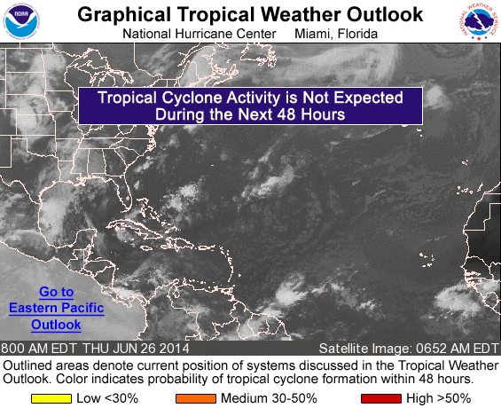
800 AM EDT THU JUN 26 2014
For the North Atlantic...Caribbean Sea and the Gulf of Mexico:
An area of low pressure could form off of the southeastern coast of
the United States by late this weekend or early next week. Some
development of this system is possible if it remains over water
while it drifts southward or southwestward.
* Formation chance through 48 hours...low...near 0 percent.
* Formation chance through 5 days...low...20 percent.
$$
Forecaster Pasch
NNNN
List of all Atlantic Outlooks
List of all East Pacific Outlooks