000
AXPZ20 KNHC 170930
TWDEP
Tropical Weather Discussion
NWS National Hurricane Center Miami FL
1005 UTC Fri May 17 2024
Tropical Weather Discussion for the eastern Pacific Ocean from
03.4S to 30N, east of 120W including the Gulf of California, and
from the Equator to 30N, between 120W and 140W. The following
information is based on satellite imagery, weather observations,
radar, and meteorological analysis.
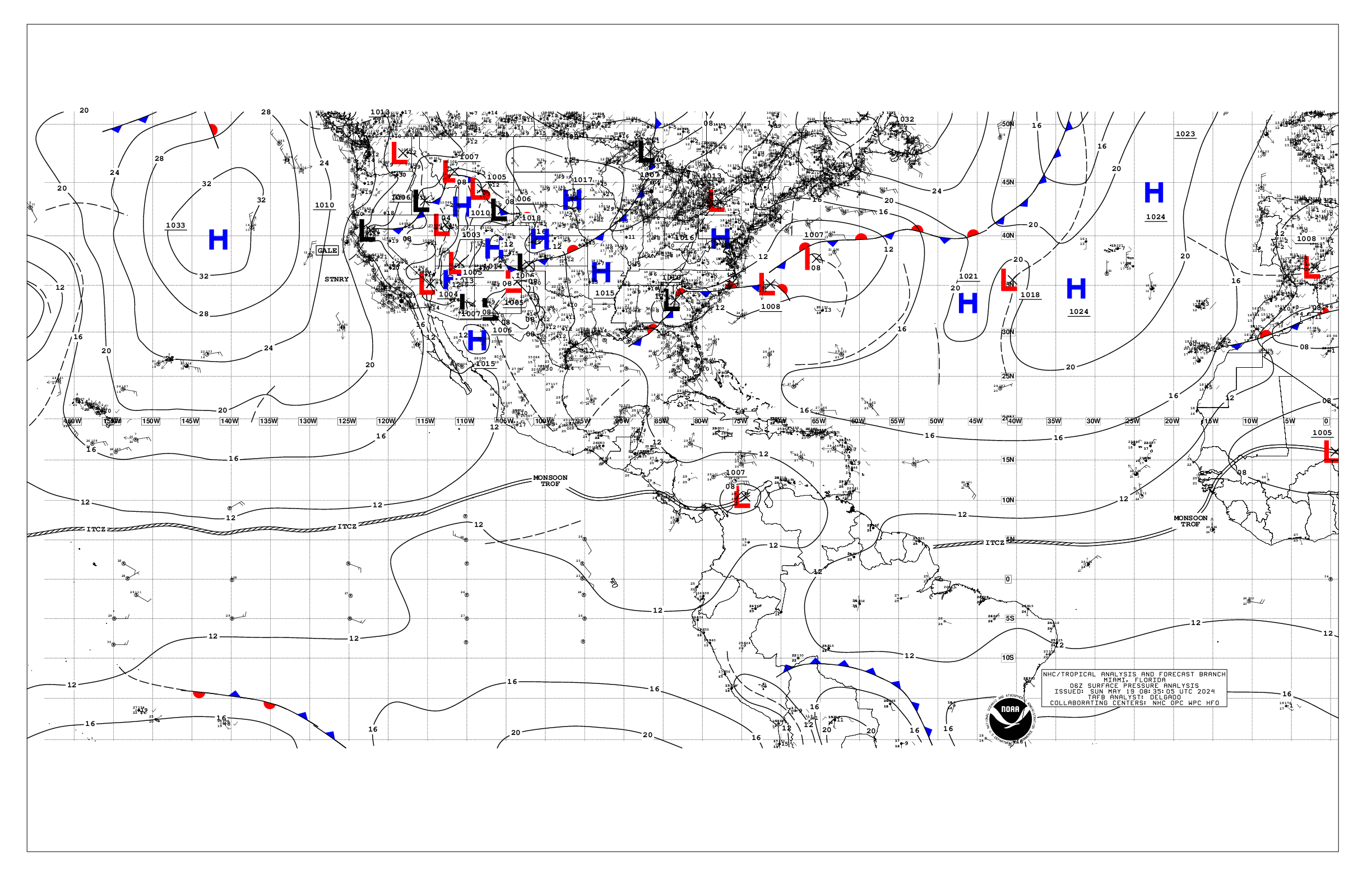
Based on 0600 UTC surface analysis and satellite imagery through
0900 UTC.
...INTERTROPICAL CONVERGENCE ZONE/MONSOON TROUGH...
The monsoon trough extends from a 1008 mb low pressure located
over northern Colombia near 10N74W to 12N95W to 1008 mb low
pressure situated near 10N105W to 08N113W. The ITCZ continues
from 08N113W to beyond 05N140W. Scattered moderate to isolated
strong convection can be found from 05N to 13N between 82W and
98W, and from 08N to 11N between 103W and 109W. Similar convective
activity is noted from 10N to 13N E of 89W.
...OFFSHORE WATERS WITHIN 250 NM OF MEXICO...
Recent scatterometer data indicate fresh to locally strong NW to
N winds across the offshore forecast waters of Baja California
between Cabo San Lucas and Punta Eugenia where seas are in the 5
to 7 ft range. Mainly moderate NW winds are noted N of Punta
Eugenia, including the Sebastian Vizcaino Bay. Seas are 4 to 6
ft within these winds, except 2 to 4 ft in the Bay. In the Gulf
of California, gentle to moderate SE to S winds are seen N of 29N
while light to gentle winds prevail across the central and south
parts of the Gulf with seas of 1 to 3 ft. Light to gentle winds
are also observed across the remainder of the Mexican offshore
waters with seas of 4 to 5 ft in long period SW swell.
For the forecast, a ridge will dominate the offshore forecast
waters of Baja California producing moderate to locally fresh NW
to N winds and moderate seas through the upcoming weekend. In the
Gulf of California, expect gentle to locally moderate southerly
winds and seas of 1 to 3 ft, with the exception of 3 to 5 ft
near the entrance to the Gulf. These marine conditions will
persist through Sun. Light to gentle winds are expected across
the remainder of the Mexican offshore waters through Sun with
moderate seas in long period SW swell.
Looking ahead, a broad area of low pressure is forecast to form
several hundred miles to the south of southern Mexico during the
next day or two. Some gradual development of this system is
possible thereafter as it moves slowly to the west or west-
northwest, remaining south of the coast of Mexico by the middle
portion of next week.
A small area of low pressure is located several hundred miles
offshore of the coast of southwestern Mexico. Shower and
thunderstorm activity has become a little more concentrated near
the low tonight, and recent satellite wind data suggests the
center is embedded in the convection. While environmental
conditions appear only marginally favorable due to nearby dry
air, some additional development of this system is possible
during the next day or so as the low drifts slowly. By this
weekend, the low is forecast to interact or merge with another
system to its east.
...OFFSHORE WATERS WITHIN 250 NM OF CENTRAL AMERICA, COLOMBIA,
AND WITHIN 750 NM OF ECUADOR...
Gentle to moderate S to SW winds prevail S of the monsoon trough
along with moderate seas in long period SW swell. N of the monsoon
trough, winds are light to gentle and seas are also moderate in
SW swell. An altimeter pass indicate seas of 4 to 6 ft N of 02N.
For the forecast, gentle to moderate southerly winds are forecast
south of the monsoon trough, with light to gentle winds north of
it through the end of the week. Southerly swell moving through
the regional waters will support seas of 4 to 6 ft through the
remainder of the week, building to 6 to 8 ft between Ecuador and
the Galapagos Islands this weekend.
...REMAINDER OF THE AREA...
High pressure prevails N of 10N and W of 110W with a 1021 mb
center located near 28N128W. The pressure gradient between the
area of high pressure and lower pressure in the vicinity of the
ITCZ is supporting an area of moderate to locally fresh trade
winds from 05N to 15N W of 120W. Seas in this area are in the 5
to 7 ft range. Mainly light and variable winds dominate the
waters N of 20N W of 120W under the influence of the above
mentioned high pressure center. Latest scatterometer and altimeter
data provide observations of fresh to strong S to SW winds in the
southern semicircle of the low pressure located near 10N105W with
seas of 8 to 10 ft from 06N to 10N between 101W and 106W.
For the forecast, high pressure will continue to dominate the
forecast waters N of 10N and W of 110W through the upcoming
weekend with moderate to locally fresh trade winds and moderate
seas along the southern periphery of its associated ridge. The
high pressure will strengthen Sun into Mon bringing some increase
in winds across the offshore waters of Baja California, and in
the trade wind zone. Northerly swell will build seas to 8 ft across
the far NW corner of the forecast region Fri and Fri night.
$$
GR