000
AXNT20 KNHC 011724
TWDAT
Tropical Weather Discussion
NWS National Hurricane Center Miami FL
1805 UTC Sat Jun 1 2024
Tropical Weather Discussion for North America, Central America
Gulf of Mexico, Caribbean Sea, northern sections of South
America, and Atlantic Ocean to the African coast from the
Equator to 31N. The following information is based on satellite
imagery, weather observations, radar and meteorological analysis.
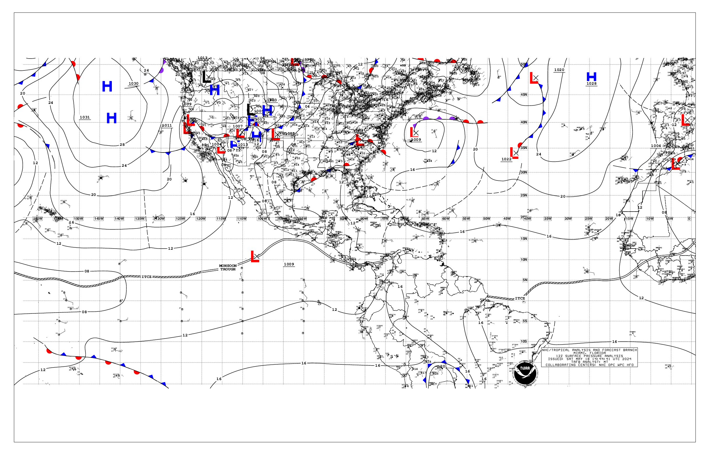
Based on 1200 UTC surface analysis and satellite imagery through
1700 UTC.
...SPECIAL FEATURES...
Heavy Rainfall in Hispaniola, Jamaica, and Eastern Cuba: Active
tropical waves and a persistent upper level trough continue to
enhance atmospheric moisture content across the northern,
central, and western Caribbean. Heavy rains are possible now
through next week, with the greatest risk for large accumulations
from Tuesday through Friday. Localized flooding is possible,
especially in areas of Hispaniola where the ground remains
saturated from recent heavy rain events. Please refer to products
from your local hydro-meteorological service for more information.
...TROPICAL WAVES...
Late arriving satellite scatterometer data indicates an eastern
Atlantic tropical wave is along 38W from 12N southward, moving
west at 10-15 kt. Scattered moderate convection associated with
this tropical wave and the nearby segment of the ITCZ is from 03N
to 10N, between 35W and 45W.
A central Atlantic tropical wave is along 55W from 13N southward,
and moving west at 15 kt. Scattered moderate convection is from
06N to 10N between 52W and 58W.
A Caribbean Sea tropical wave is near 78W from 18N southward, and
moving west at 15-20 kt. Scattered moderate isolated strong
convection is from 12N to 18N between 76W and 83W. Fresh to strong
trades have been reported near the tropical wave, with seas to 8
ft.
...MONSOON TROUGH/ITCZ...
The monsoon trough extends from the coastal border of Guinea-
Bissau and Senegal near 12N16W to 06N20W. Segments of the ITCZ
are from 06N20W to 05N30W and from 05N38W to 07N50W. Scattered
moderate convection is within 120 nm of the ITCZ and Monsoon
Trough.
GULF OF MEXICO...
Scattered moderate convection is north of 27N and west of 93W in
the NW Gulf, and north of 27N between 84W and 88W in the NE Gulf.
Elsewhere, surface ridging prevails. E to SE winds are gentle to
moderate across most of the basin with 3-5 ft seas. In the Straits
of Florida and near the tip of the Yucatan Peninsula, E winds are
pusling to locally fresh speeds with seas to 6 ft.
For the forecast, the ridge will dominate the Gulf waters through
at least Sun, supporting moderate to fresh SE winds over the
western Gulf and gentle to moderate E to SE winds E of 90W. Winds
may pulse to moderate to fresh in the eastern Gulf today as well.
Due to local effects, fresh to strong NE to E winds will pulse
near the northern and western portions of the Yucatan peninsula
during the late afternoons and at night through Sun. Hazy
conditions due to agricultural fires over Central America and
Mexico will continue for at least the next couple of days reducing
visibility at times.
CARIBBEAN SEA...
Please see the SPECIAL FEATURES section above for information on a
HEAVY RAIN EVENT. Please see the TROPICAL WAVES section above for
information on active convection.
Fresh to strong trades, with 6-8 ft seas, are analyzed in the
central Caribbean in the wake of the tropical wave that is moving
into the SW Caribbean. Elsewhere, trades are moderate to fresh
with 3-6 ft seas.
For the forecast, the pressure gradient will increase today as
high pressure N of the area strengthens some. This will lead to
fresh to strong trade winds across the central Caribbean through
early Mon, with seas building to around 9 ft. Fresh to strong
winds are also expected over portions of the western basin just
over southern Jamaica adjacent waters as a tropical wave moves
across the region through Sun afternoon. The wave is also
supporting scattered showers and tstms between the Windward
Passage and the coast of Nicaragua, which are forecast to continue
and amplify the next couple of days.
ATLANTIC OCEAN...
Please see the TROPICAL WAVES section above.
A cold front extends from 31N60W to 25N73W. Scattered moderate
convection is east of the cold front, from 21N to 31N between 58W
and 66W. Moderate to fresh NE winds and 4-7 ft seas are west of
the cold front, and currently impacting the Bahamas and east coast
of Florida. 1021 mb high pressure is near 22N30W, and 1022 mb
high pressure is north of the TAFB area. Due to these high
pressure areas, trades are gentle to moderate across the
remainder of the tropical Atlantic with 4-7 ft seas in open
waters.
For the forecast W of 55W, the cold front is expected to become
nearly stationary along 25N by early Sun and weaken into a surface
trough by Mon evening. Energy associated with a convectively
active tropical wave, currently over the W Caribbean will lift NNE
and merge with this trough by Tue. Afterwards, the trough will
drift eastward and move to the central subtropical Atlantic waters
Thu into Fri. Fresh SW winds are forecast ahead of this trough as
it crosses the northern offshore waters.
$$
Mahoney