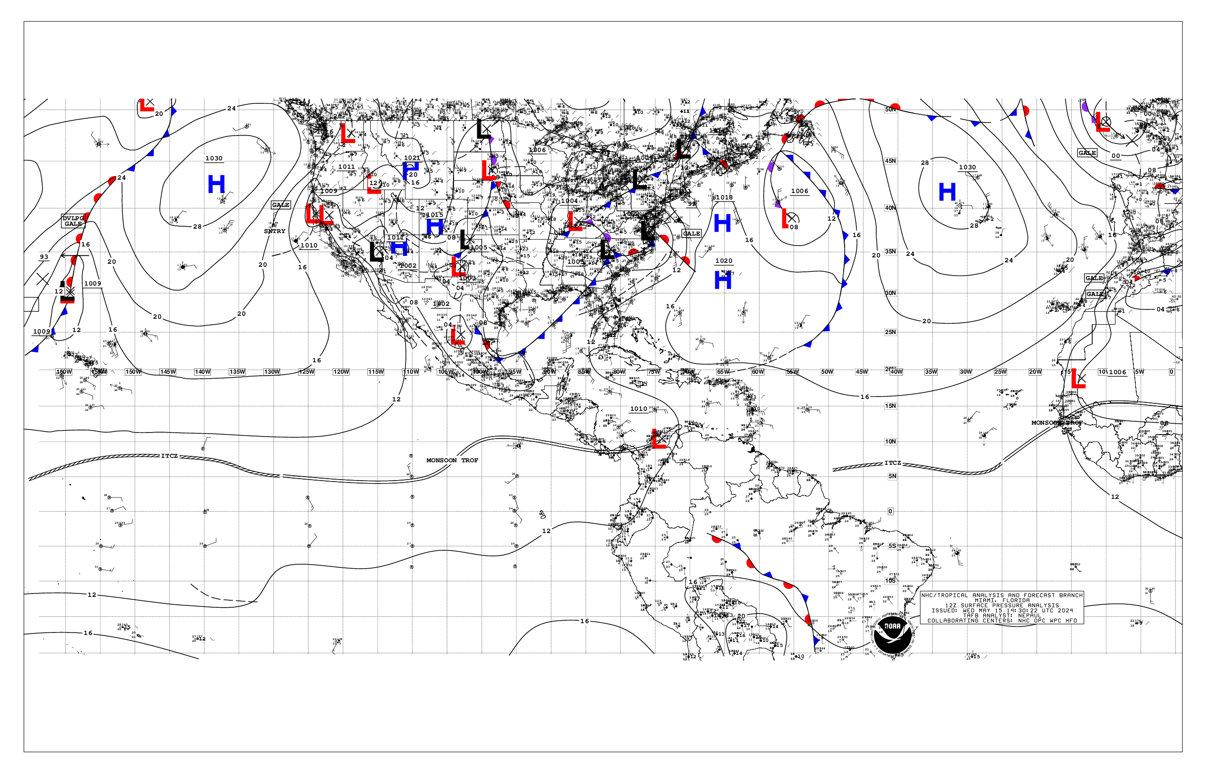
323
AXPZ20 KNHC 161544
TWDEP

Tropical Weather Discussion
NWS National Hurricane Center Miami FL
1605 UTC Thu May 16 2024

Tropical Weather Discussion for the eastern Pacific Ocean from
03.4S to 30N, east of 120W including the Gulf of California, and
from the Equator to 30N, between 120W and 140W. The following
information is based on satellite imagery, weather observations,
radar, and meteorological analysis.

Based on 1200 UTC surface analysis and satellite imagery through
1500 UTC.

...INTERTROPICAL CONVERGENCE ZONE/MONSOON TROUGH...

The monsoon trough extends from 13N87W to 06N114W. The ITCZ
continues from 06N114W to 03N140W. Scattered moderate convection
is noted from 04N to 12N and E of 108W and along the ITCZ and W
of 126W.

...OFFSHORE WATERS WITHIN 250 NM OF MEXICO...

Moderate winds prevail across the waters off the Baja California
peninsula southward to near the Revillagigedo Islands, reaching
locally strong speeds off the coast of Cabo San Lucas. Moderate
to fresh gap winds are in the Gulf of California. Light to
gentle winds are elsewhere over the open waters off Mexico. Seas
are in the 4-6 ft range over the open waters off Mexico, reaching
7 ft locally in the area of strong winds off Cabo San Lucas. Seas
of and 3 ft or less prevail in the Gulf of California.

For the forecast, moderate to fresh NW winds and moderate seas
or less, will prevail off the Baja California waters through the
remainder of the week and into the upcoming weekend. Fresh to
strong winds south of Cabo San Lucas will diminish later today.
Pulsing moderate to locally fresh gap winds will push through the
mountain passages of Baja California tonight. Gentle to locally
moderate winds and moderate seas are expected elsewhere across
the open offshore waters of Mexico through late this week.

Looking ahead, an area of low pressure is forecast to form
several hundred miles to the south of the Gulf of Tehuantepec
within the next couple of days. Gradual development is possible
thereafter, and a tropical depression could form over the weekend
or early next week while the system moves slowly to the west or
west-northwest, remaining south of the coast of Mexico through
early next week. Regardless of development, increasing winds and
seas are possible across that area toward the end of the week and
into the upcoming weekend.

...OFFSHORE WATERS WITHIN 250 NM OF CENTRAL AMERICA, COLOMBIA,
AND WITHIN 750 NM OF ECUADOR...

Gentle to moderate winds prevail S of the monsoon trough, with
light to gentle winds N of the monsoon trough. Seas are in the
3-5 ft range, except up to 6 ft offshore Ecuador to the Galapagos
Islands.

For the forecast, gentle to moderate southerly winds are forecast
south of the monsoon trough, with light to gentle winds north of
the monsoon trough, through the end of the week. Southerly swell
moving through the regional waters will support seas of 4-6 ft
through the remainder of the week, building to 6-8 ft offshore
Ecuador to the Galapagos Islands this weekend.

Looking ahead, an area of low pressure is forecast to form
several hundred miles to the south of the Gulf of Tehuantepec
within the next couple of days, possibly increasing winds and
seas in the offshore waters of Guatemala and El Salvador toward
the end of the week and into the upcoming weekend.

...REMAINDER OF THE AREA...

High pressure prevails N of 10N. The pressure gradient between
the area of high pressure and lower pressure in the vicinity of
the ITCZ is supporting moderate tradewinds north of 05N to near
20N and west of 118W. Seas in this area are in the 5-7 ft range.
Gentle to locally moderate winds are elsewhere north of the
ITCZ/monsoon trough, where seas are in the 4-6 ft range. Gentle
to locally moderate winds are south of the ITCZ/monsoon trough
where seas are in the 5-6 ft range, except to 7 ft south of the
Equator.

For the forecast, moderate to locally fresh trade winds and
moderate seas are expected in the trade wind zone north of the
ITCZ to near 20N and west of 120W through the forecast period.
Winds will freshen in the tradewind zone north of the ITCZ and
west of 130W later in the week, locally strong at times. The NE
wind waves generated from these trades will mix with a set of
southerly swell to build seas to 7-9 ft by the end of the week
through the weekend. A couple of sets of northerly swell may
approach 30N by Fri afternoon, possibly building seas to around 8
ft north of 28N at times.

$$
ERA
Alternate Formats
About Alternates -
E-Mail Advisories -
RSS Feeds
Cyclone Forecasts
Latest Advisory -
Past Advisories -
About Advisories
Marine Forecasts
Latest Products -
About Marine Products
Tools & Data
Satellite Imagery -
US Weather Radar -
Aircraft Recon -
Local Data Archive -
Forecast Verification -
Deadliest/Costliest/Most Intense
Learn About Hurricanes
Storm Names
Wind Scale -
Prepare -
Climatology -
NHC Glossary -
NHC Acronyms -
Frequently Asked Questions -
AOML Hurricane-Research Division
About Us
About NHC -
Mission/Vision -
Other NCEP Centers -
NHC Staff -
Visitor Information -
NHC Library
NOAA/
National Weather Service
National Centers for Environmental Prediction
National Hurricane Center
11691 SW 17th Street
Miami, Florida, 33165-2149 USA
nhcwebmaster@noaa.gov
Disclaimer
Privacy Policy
Credits
About Us
Glossary
Career Opportunities
Page last modified: Thursday, 16-May-2024 15:44:55 UTC