ZCZC MIATWOEP ALL
TTAA00 KNHC DDHHMM
Tropical Weather Outlook
NWS National Hurricane Center Miami FL
500 AM PDT Sat May 18 2024
For the eastern North Pacific...east of 140 degrees west longitude:
1. South of the Coast of Southwestern Mexico:
An elongated area of low pressure located several hundred miles
offshore of the coast of southwestern Mexico continues to produce an
area of showers and thunderstorms. Dry air nearby and marginal
environmental conditions are likely to limit significant
development. This system should remain nearly stationary during the
next day or so, but by the end of the weekend, the low is forecast
to interact or merge with another system to its east.
* Formation chance through 48 hours...low...10 percent.
* Formation chance through 7 days...low...10 percent.
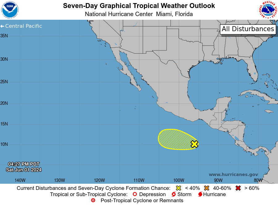
2. South of the Coast of Southern Mexico:
A trough of low pressure continues to produce disorganized showers
and thunderstorms several hundred miles to the south of the coast
of southern Mexico. Development of this system, if any, should be
slow to occur as it moves slowly westward during the next few days.
* Formation chance through 48 hours...low...near 0 percent.
* Formation chance through 7 days...low...20 percent.
Forecaster Kelly